CrowdLab
Council teams
Plan local road safety programs with consistent data across states. Council Pro includes org accounts and advanced analysis tools.
See Council Pro →Explore crash history in seconds. Compare your area and turn patterns into clear next steps.
No credit card required.
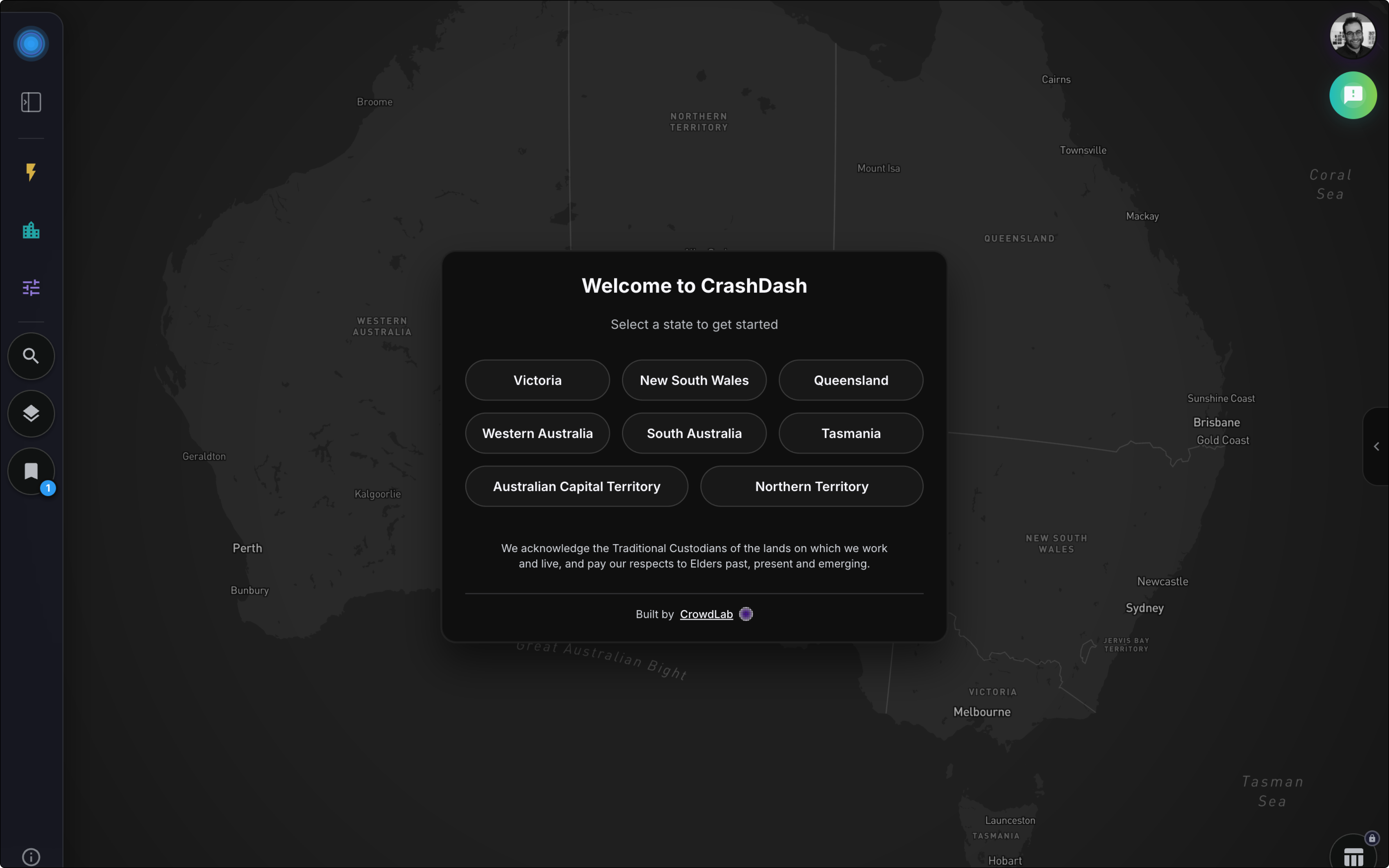
Explore the map without signing upCouncil planner? See Council Pro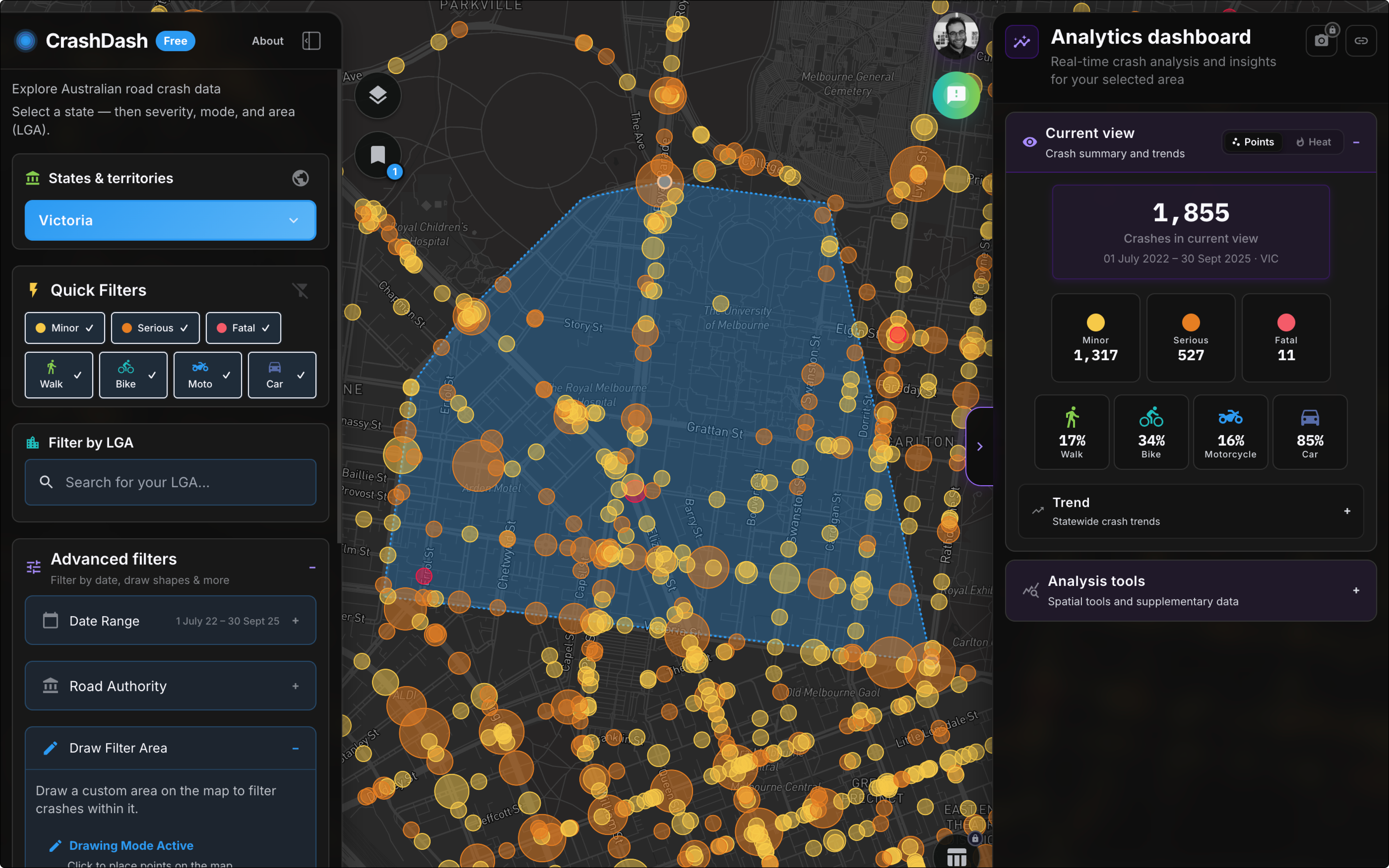
National scale, local insights. Built for Australian council teams and road safety practitioners.
As featured in



One national tool for council teams, consultants and open explorers.
Plan local road safety programs with consistent data across states. Council Pro includes org accounts and advanced analysis tools.
See Council Pro →Filter, analyse and export injury crash records for studies and client work.
Start on the map without an account. Sign up free to save your views and get notified when new data is available.
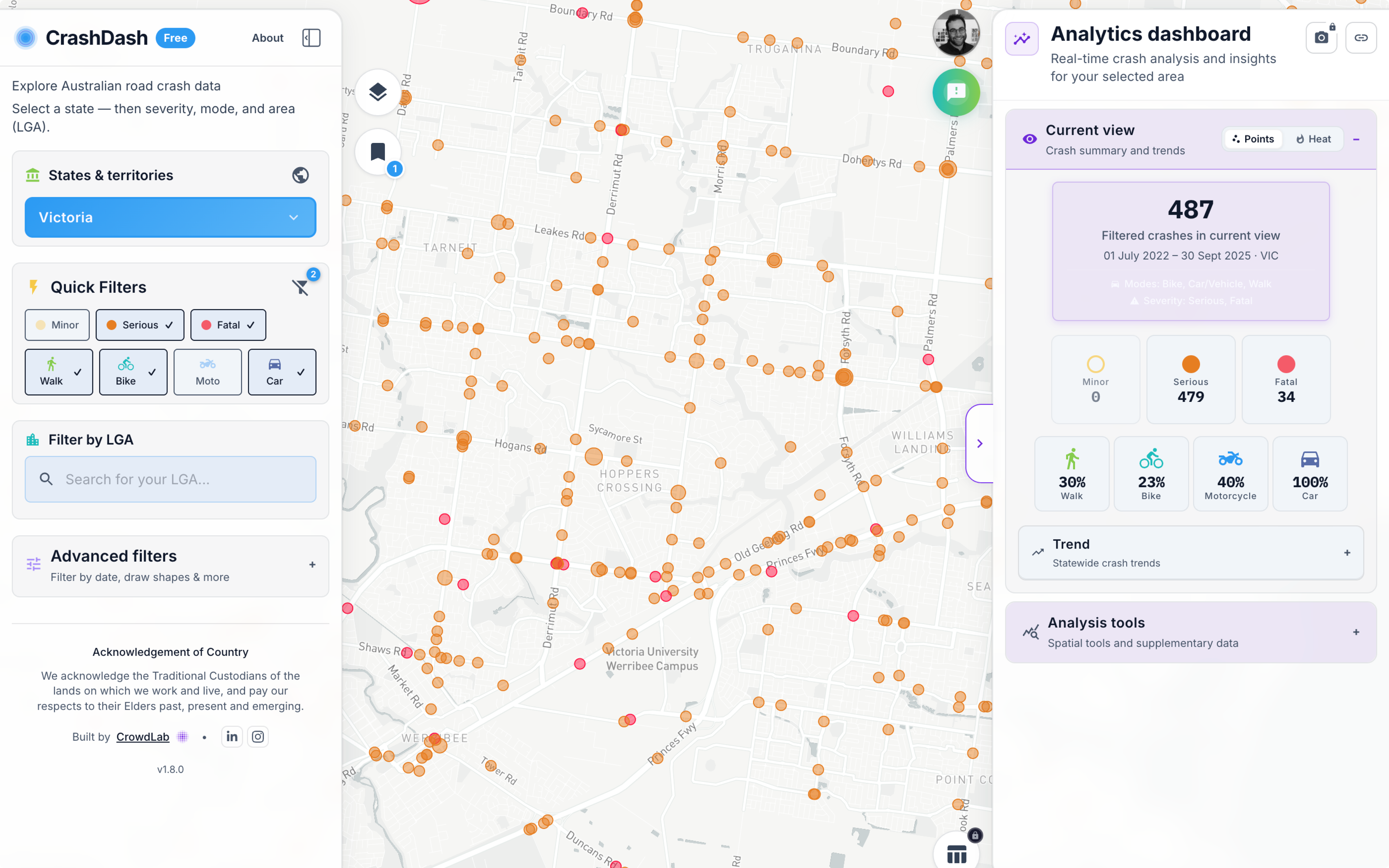
Explore national crash data, filters, heatmaps, trends and clustering on the free map. Most of this works without an account; create a free account to save views and share them with your team.
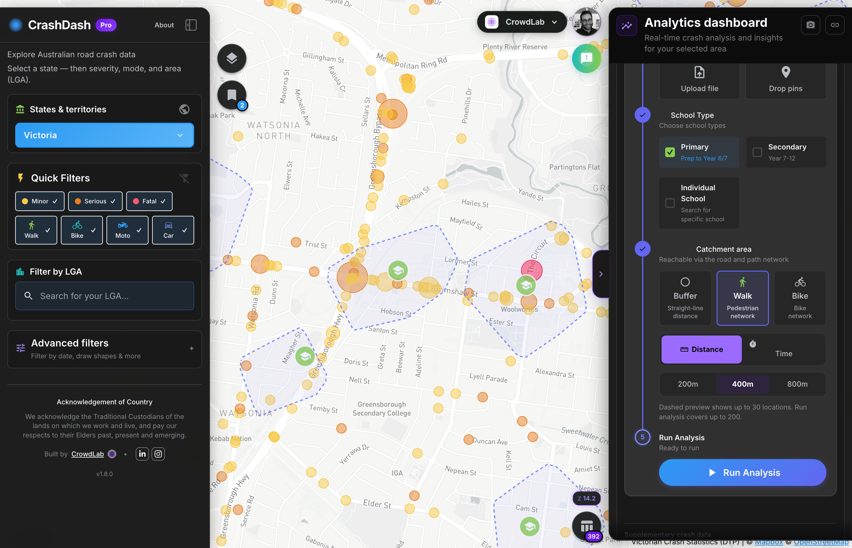
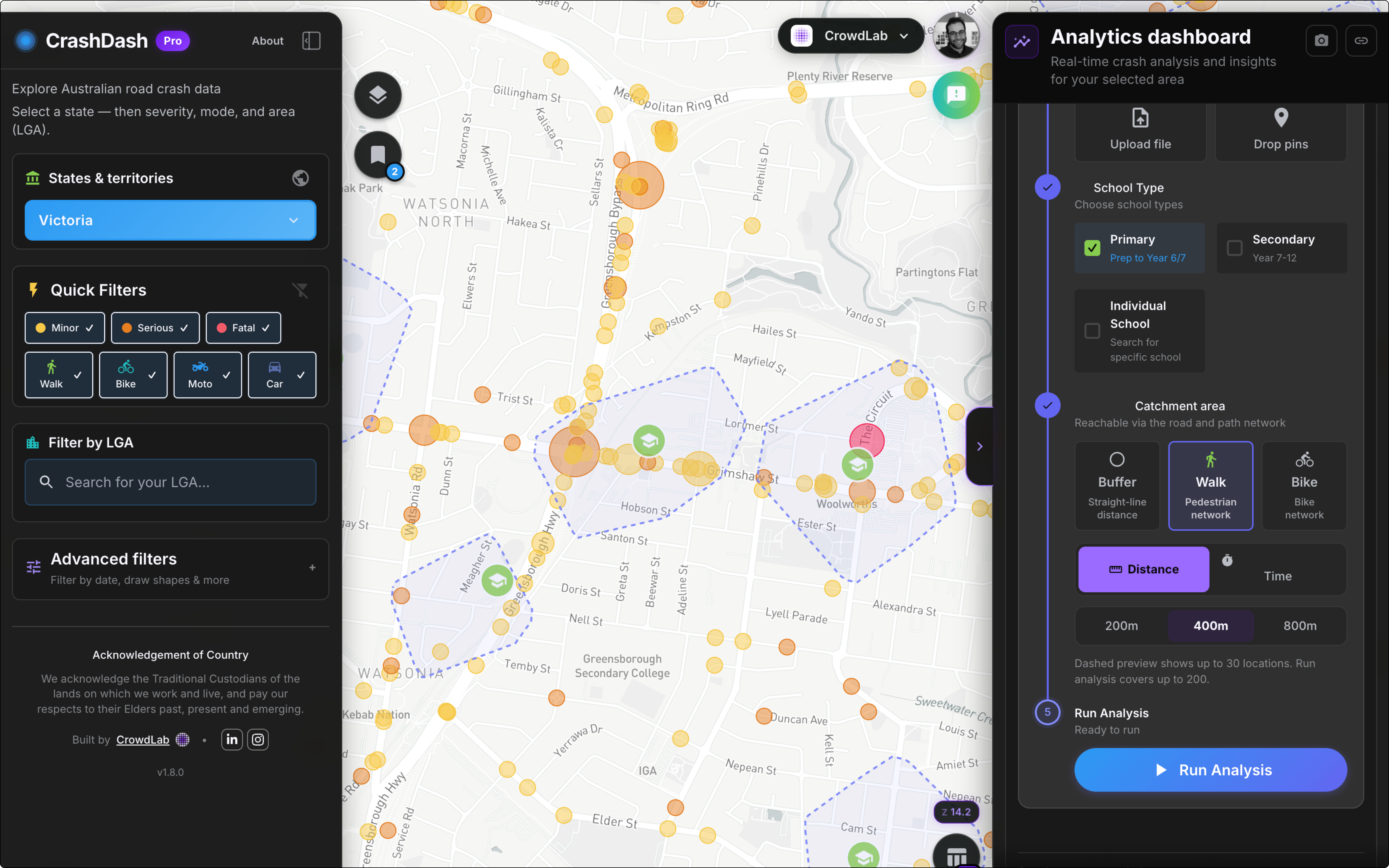
Count crashes near schools, hospitals, aged care or any custom location. Set buffer distances and review severity, modes and estimated social cost.
Included with Council Pro
See how councils use these →From first open to export in a few steps. Pro analysis tools are included with Council Pro.
Select a step to change the screen, or use the arrows.
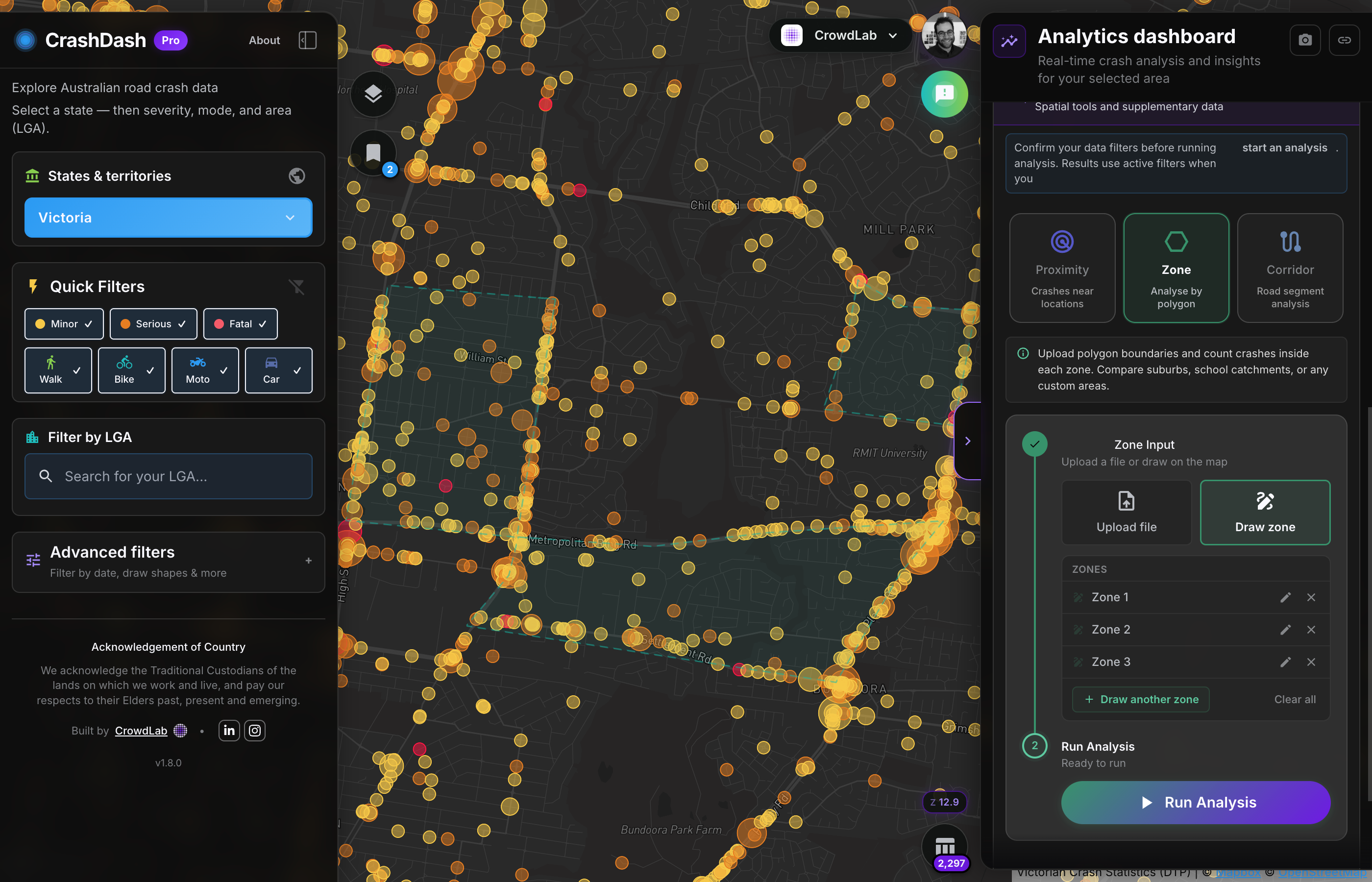
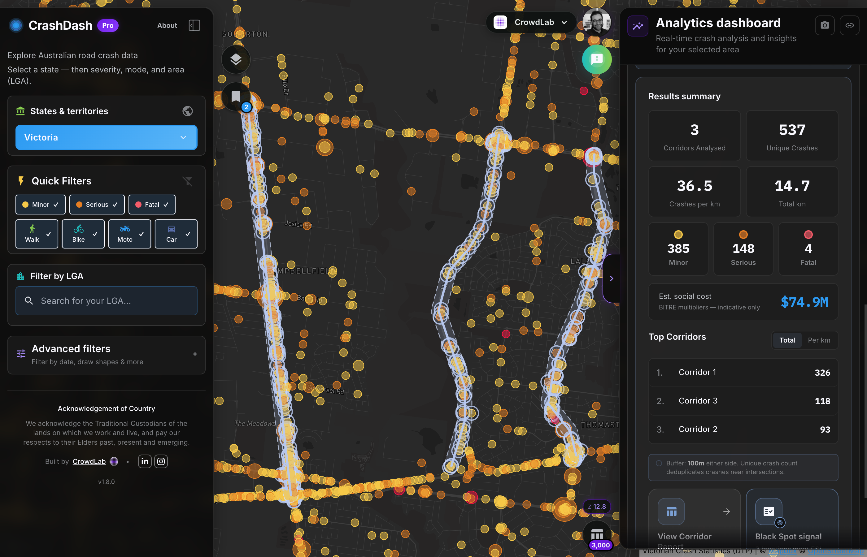
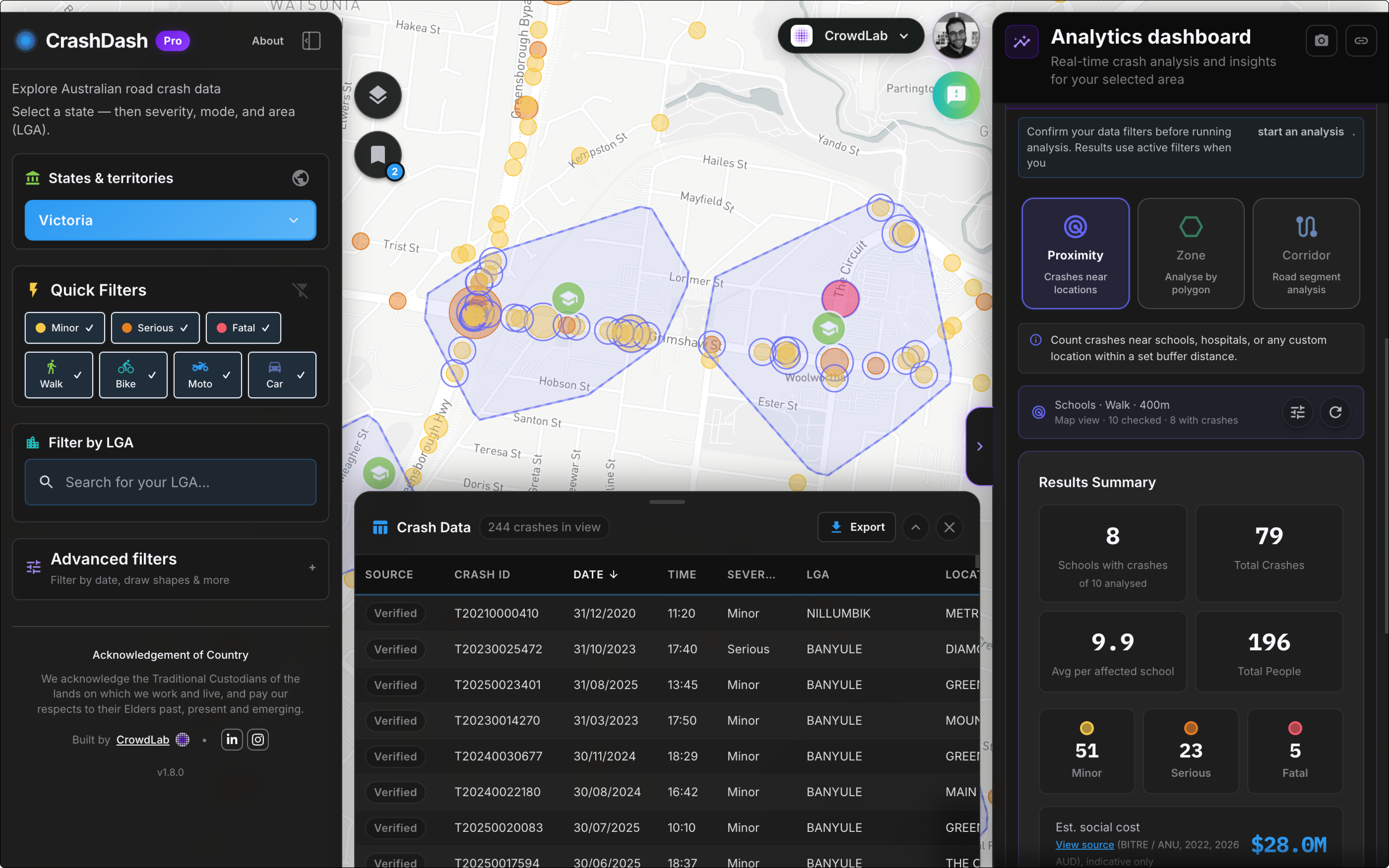
Five-year crash history, advanced filters, proximity, zone and corridor analysis, and org accounts. Start with a 30-day trial or book a walkthrough and we'll explore your LGA's crash data with you.
Book a walkthroughUsually 15 minutes · or email us directly
Individual Pro for solo practitioners is coming August 2026.
“I've already used it a few times. It's so handy for quick LGA checks.”Beck RoyTransport Planner, City of Yarra
“Much more accessible and user friendly than other crash stat maps.”Julian WearneDepartment of Transport and Planning, Victorian Government
“Really useful for scoping crash patterns before deeper analysis.”Dr. Elliot FishmanInstitute of Sensible Transport
“A big milestone for making crash data easier to work with.”Jamie-Lee OwenStrategic Transport Leader
CrashDash is built by CrowdLab with a clear mission:
making road safety data accessible, transparent, and actionable for Australian councils, transport planners, researchers and communities.
We take a human-centered approach to building civic data tools. This means transparency over secrecy, user control over automation, and trust over convenience.
We believe you should understand how CrashDash works. Data sources are clearly attributed, and our analysis methods are explained in plain language. As we add more features, we'll document our approach transparently.
You control every decision. All filtering, analysis, and exploration starts with your choices. We build tools that empower your expertise, not replace it.
Public safety data should be accessible to all Australians. Our free tier ensures councils, researchers, and community groups can access critical road safety information without barriers.
Questions about our approach? Get in touch.
Create a free account to save your views and get notified when new data is available. No credit card required.